Measure Land in Acres & Hectares
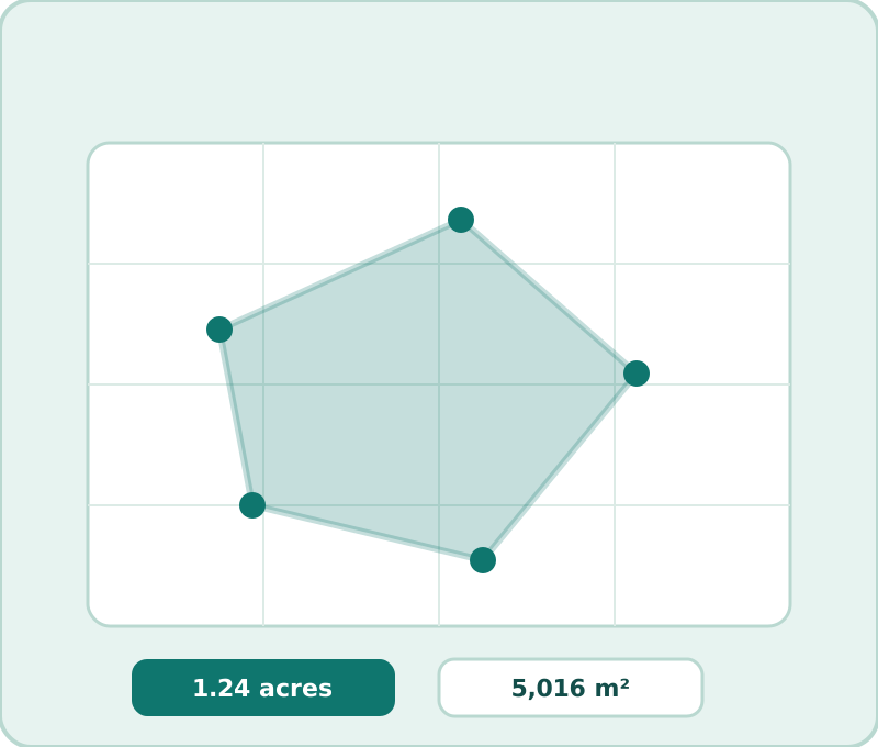
Land is sold, leased, seeded, sprayed and stocked by area. Draw the parcel in the map tool and the acreage and hectare readouts update live — here is what those numbers are for once you have them.
The units, honestly compared
| Unit | Equals | Used for |
|---|---|---|
| 1 acre | 4,046.86 m² · 43,560 ft² | US real estate, farming, zoning |
| 1 hectare (ha) | 10,000 m² · 2.471 acres | Forestry, agriculture worldwide, EU subsidies |
| 1 m² | 10.76 ft² | Gardens, construction detail |
| 1 ft² | 0.0929 m² | US materials coverage |
The tool shows all four at once, so no conversion step ever stands between you and the number you need.
What people do with an acreage number
Seeding and spraying: agricultural rates are per acre or per hectare — your polygon turns the label's "1 L/ha" into liters for your actual field. Stocking: grazing rules of thumb (animals per acre) depend entirely on knowing the true acreage, not the neighbor's estimate. Loans and grants: ag programs pay per acre or set eligibility by acreage; the map number tells you roughly where you stand before paperwork. Solar and leasing: land-lease inquiries start with "how many acres do you have?" — now you can answer from the parcel itself.
Measurements for big parcels, done right
At tens of acres, draw generously: walk or zoom the imagery and place points every few meters along curved boundaries — the more points, the closer the polygon hugs the true edge. Curved river boundaries under-sampled by five points lose real acres. The tool's geodesic math (it accounts for Earth's curvature) matches what county GIS systems compute; if a number differs wildly from the plat, the usual culprit is drawing to a fence that predates a split, not the math. For rectangles the sanity check is mental arithmetic: length × width in meters, divided by 4,047 for acres — the drawn number should land within a couple percent of the estimate.
A note on flood plains, easements and "useful" acres
Legal acreage and usable acreage differ: easements, flood zones and right-of-ways carve real value out of a nominal number. The map gives you total area for free; the diligence layers — plat, FEMA maps, county GIS overlays — tell you what that area is allowed to be. For a first pass on any parcel, though, sixty seconds with the drawing tool beats any estimate.
Frequently asked questions
How big is an acre, visually?
About 4,047 m² — roughly a football field without the end zones, or a square about 63.6 m (209 ft) on a side. A hectare is 2.47 acres: a square 100 m on a side.
Can I measure irregular farmland?
Yes — the map tool takes any polygon. Trace around the irregular boundary point by point; the geodesic area math handles the shape, not just rectangles.
How accurate is map acreage for land purchases?
For planning and comparison, 1-2% is excellent. For transactions, the recorded plat or a survey governs — map measurement tells you what you are looking at, not what you are buying.